MERLIN Support Office

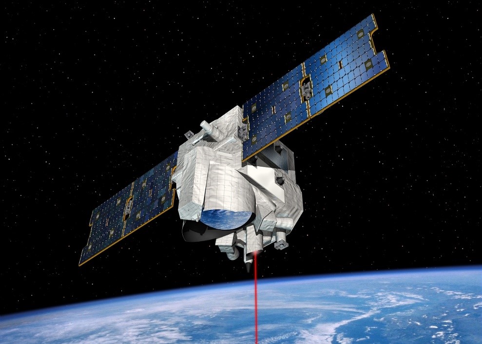
The MERLIN (Methane Remote Sensing Lidar Mission) factsheet provides a detailed overview of this groundbreaking satellite mission, jointly developed by the German Aerospace Center (DLR) and the French Space Agency (CNES). As methane is one of the most potent greenhouse gases contributing to climate change, accurate and global measurements are essential for understanding its sources and sinks. MERLIN aims to deliver highly precise data on atmospheric methane concentrations using state-of-the-art LIDAR (Light Detection and Ranging) technology.
Planned for launch in 2030, MERLIN will operate for at least three years in a polar, sun-synchronous orbit at an altitude of approximately 500 km. The mission’s primary goal is to measure methane column density with an accuracy better than 2%, even under cloudy conditions. This data will be crucial for improving climate models, estimating methane fluxes, and distinguishing between natural and anthropogenic emissions from energy production, wildfires, wetlands, permafrost melt, and ocean sediments.
The satellite is based on the MYRIADE Evolutions platform, developed by CNES, and will be launched as an auxiliary payload. The mission’s data processing and operational management will be carried out collaboratively in France and Germany. MERLIN’s findings will contribute significantly to global climate research and aid in monitoring compliance with international agreements like the Global Methane Pledge.
Download the full MERLIN factsheet now to explore the mission’s objectives, technical details, and its critical role in climate change mitigation.


