MERLIN Support Office

Wetlands are among the most critical ecosystems on Earth. They provide essential services such as flood control, carbon storage, and biodiversity support. However, accurately mapping and monitoring wetlands has long been a challenge due to their dynamic nature and seasonal variations.
Mapping Wetlands and the Role of Satellite Technology
A recent article published by EOS, “Where the Wetlands Are”, by Rebecca Owen, explores the latest efforts in wetland mapping. The article highlights the role of satellite technology in improving our understanding of these crucial landscapes. Developing a comprehensive global inventory of wetlands is necessary for effective conservation and climate change mitigation. Traditional methods, such as ground surveys and aerial observations, are often limited in scope and frequency. To address this gap, researchers are increasingly turning to satellite data, which provides consistent and large-scale observations of wetland dynamics. The European Wetland Map (‘EWM’) improves the current state of knowledge on wetlands across Europe by providing detailed informations on location type, seasonal changes and more.
Various satellite missions, including those from NASA and the European Space Agency (ESA), have contributed to mapping wetlands. They analyze surface water, vegetation, and soil moisture. Synthetic Aperture Radar (SAR) and optical imagery help distinguish wetland areas from other land cover types. However, challenges remain in detecting subtle changes in wetland ecosystems, especially in regions with dense vegetation or complex hydrological patterns.
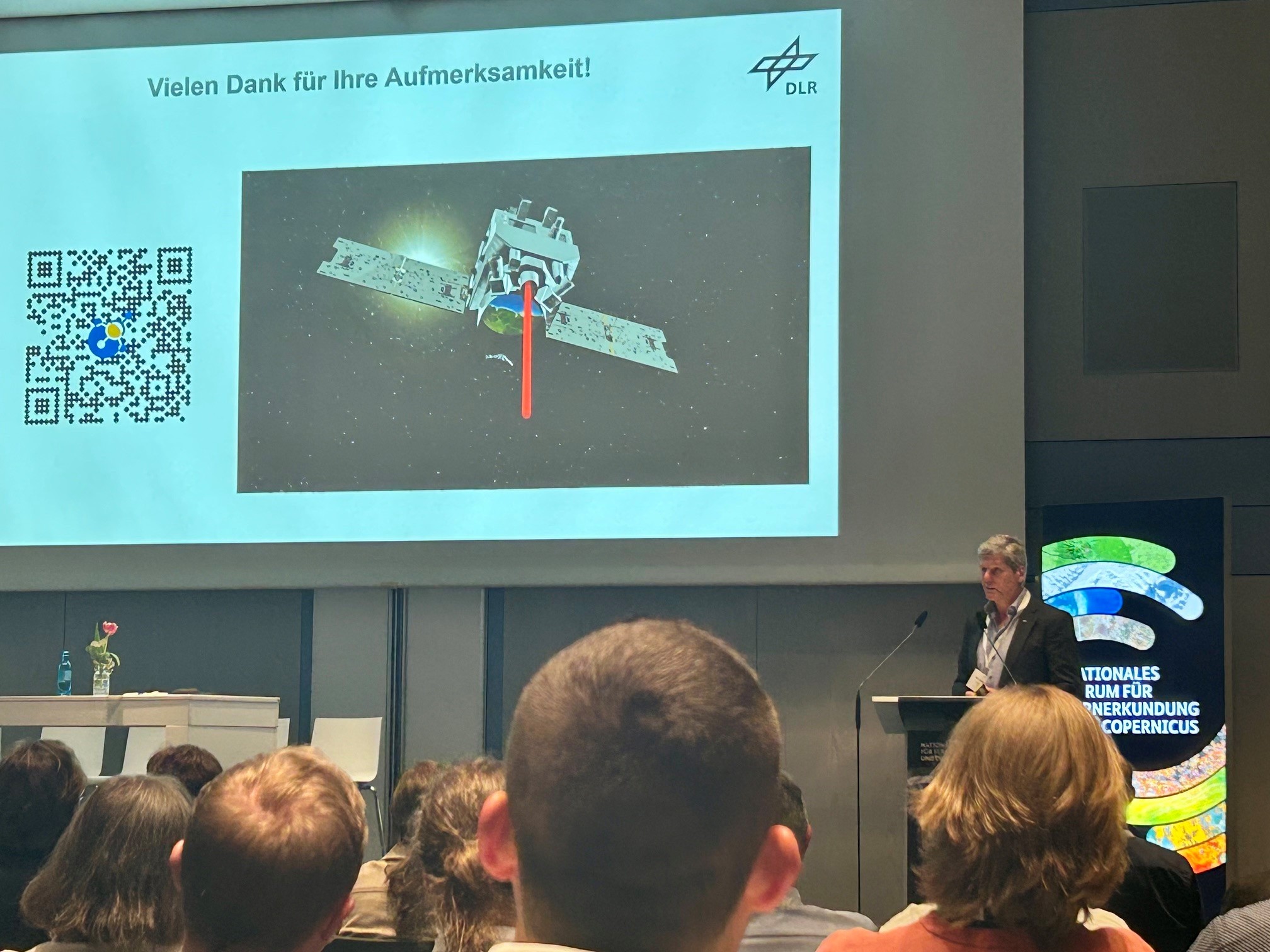
One promising avenue for enhancing wetland monitoring is methane-detecting satellites like MERLIN (Methane Remote Sensing Lidar Mission). While MERLIN’s primary goal is to measure atmospheric methane concentrations, its data could offer insights into wetland activity. Wetlands are a major natural source of methane emissions. By combining methane measurements with existing satellite imagery, scientists may refine wetland maps and better assess their ecological functions.
The Need for Improved Monitoring
The article underscores the urgency of improving wetland monitoring efforts. Climate change and human activity continue to threaten these vital ecosystems. As satellite technology advances, our ability to track and protect wetlands will become increasingly sophisticated, paving the way for more effective conservation strategies.