MERLIN Support Office

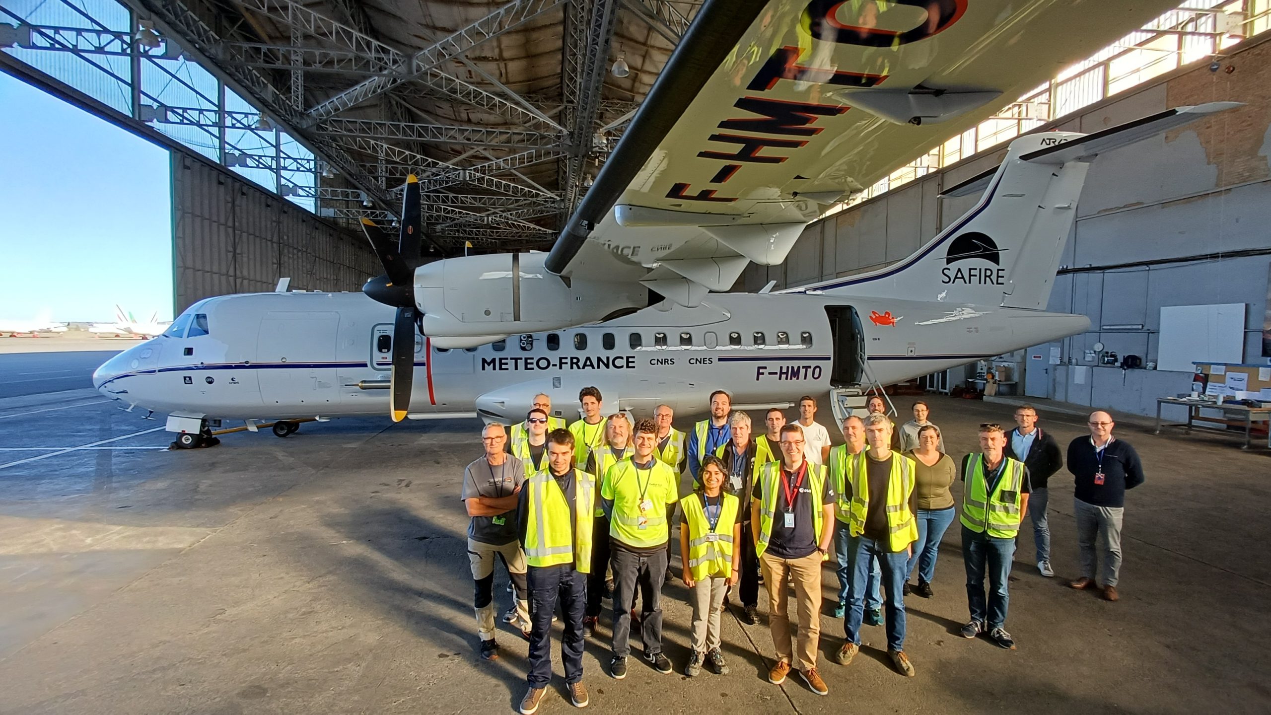
The AB2CD (AirBorne Campaign for Carbon Dioxide and Methane Detection), funded by the European Space Agency (ESA), was conducted to investigate how the unique combination of airborne active instruments measuring CO2/CH4 columns and wind profiles can gain knowledge of emissions at the surface. And how the combination of both Lidar instruments efficiently contribute to the validation of satellite sensors and support their measurement capability. (observations.ipsl.fr)
The campaign took place at SAFIREs base near Toulouse, France during September/October 2025 on the french ATR-42. Under the lead of LMD/Polytechnique Solutions (France), the campaign brought together an international consortium with major contributions from DLR (Germany), ONERA (France), Gerfaut (France), AEROLAB (France), GHGSat (Canada), AEMET (Spain).

CHARM-F and LiVe: Complementary Lidars on HALO
A central highlight of AB2CD was the joint deployment of two advanced lidar systems on the HALO research aircraft: DLR’s CHARM-F and ONERA’s LiVe wind lidar.
CHARM-F (CO₂ and CH₄ Atmospheric Remote Monitoring – Flight) is an Integrated Path Differential Absorption (IPDA) lidar capable of measuring atmospheric carbon dioxide (CO₂) and methane (CH₄) columns simultaneously. It shares much of its core design with the spaceborne instrument that will fly on the MERLIN (Methane Remote Sensing Lidar Mission) satellite, making it the airborne demonstrator for MERLIN validation.
In parallel, LiVe (Lidar Vent) provides high-resolution wind measurements using Doppler techniques. Operating both lidars together enables a unique synergy: CHARM-F quantifies greenhouse-gas concentrations while LiVe captures the wind fields that govern their transport. This co-deployment allows scientists to link emission signatures directly to atmospheric dynamics — a crucial step toward reducing uncertainties in flux inversion models.
Mapping Coastal CO₂ and CH₄ Sources
During the AB2CD flight campaign, the ATR-42 performed a series of measurement flights over coastal zones over Bilbao, Barcelona and Fos s Mer, targeting methane and carbon dioxide plumes near industrial areas.
These regions are of particular interest, since complex scence with highly variing albedos are chalanging for passive remot sesing techniks, while aktive remote sensing such as the lidar technik will profide a valuable contribution to GHG measurements over water bodys.
By simultaneously recording column-averaged gas concentrations and wind profiles, CHARM-F and LiVe deliver an unprecedented dataset for testing the capability of spaceborne lidar to detect and interpret GHG emission plumes and patterns.
Preparing for MERLIN and Beyond
The datasets from AB2CD will be essential also for MERLIN calibration and retrieval development, bridging the gap between airborne and satellite observations. Complementary ground-based spectrometers and in-situ sensors provided further validation layers within the campaign framework.
(MDPI – Atmospheric validation study)
These results will strengthen the scientific readiness of the MERLIN mission and reinforce Europe’s leadership in space-based greenhouse-gas monitoring. For more information about MERLIN and its scientific objectives, visit our MERLIN mission overview.
By linking CHARM-F performance directly to MERLIN’s spaceborne objectives, AB2CD ensures that Europe’s future lidar mission launches with the strongest possible experimental foundation. The campaign exemplifies how collaborative field efforts transform technological progress into actionable climate knowledge.


