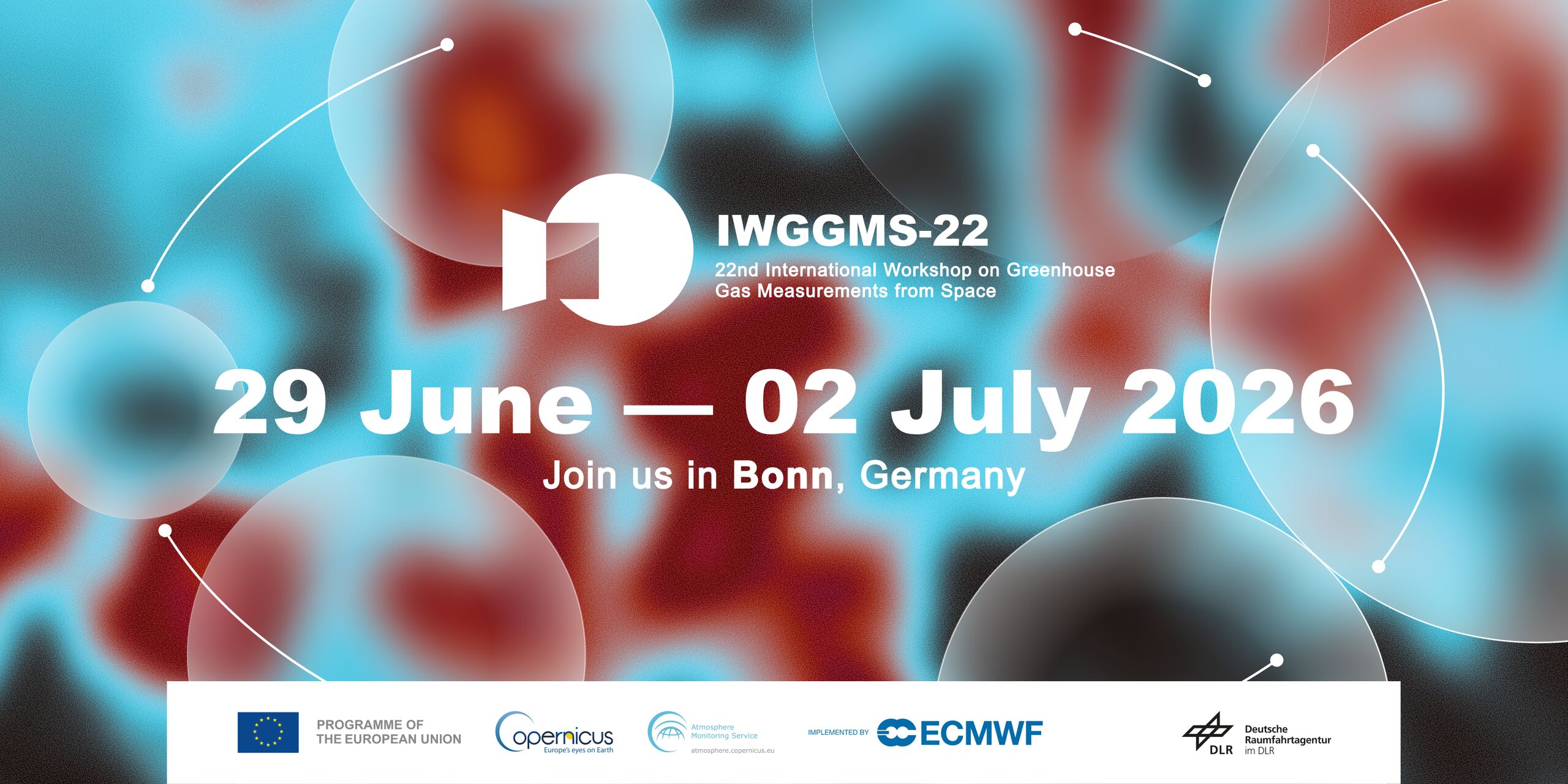
MERLIN Support Office

Did you know that methane (CH₄) heats our atmosphere over 25 times more than CO₂ over a 100-year period? Despite its potent climate impact, we still know surprisingly little about methane’s global sources and sinks. That’s exactly what the MERLIN satellite—a joint mission by Germany’s DLR and France’s CNES—aims to change.
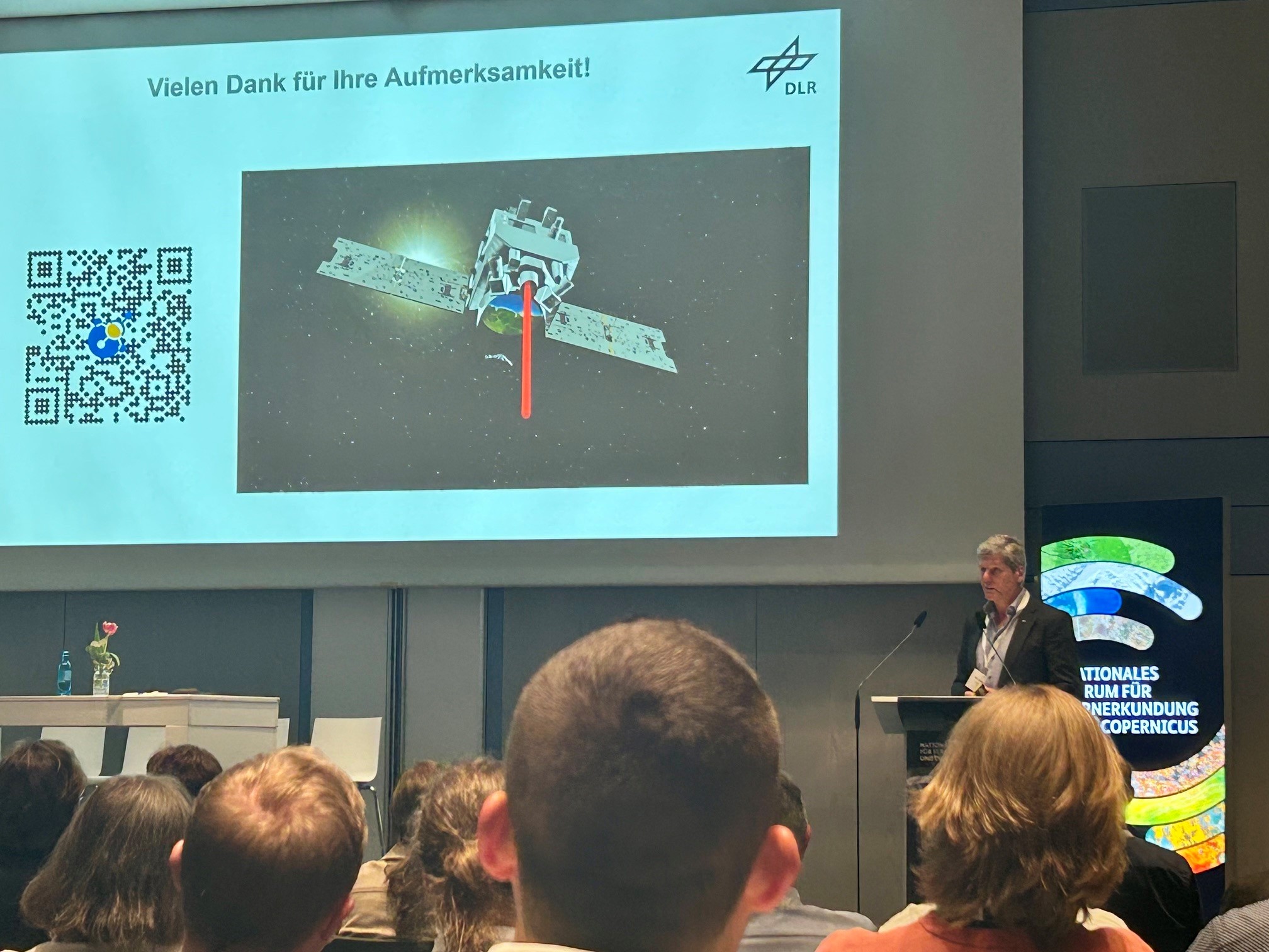
How does MERLIN work?
In a short video recorded at the Paris Air Show in Le Bourget, Anju Santhosh from the German Space Agency at DLR explains how MERLIN will use a state-of-the-art LIDAR system to detect methane emissions from space. Flying at an altitude of 500 km, MERLIN will operate day and night, measuring methane concentrations with high precision—even through thin clouds.
Starting in 2029, MERLIN will create the first global methane map. This data will help scientists and policymakers better understand where methane is emitted—from natural sources like wetlands to human activities such as fossil fuel extraction—and where it is absorbed.
This mission is a key milestone in improving climate monitoring from space. It builds on insights shared in our previous coverage of MERLIN’s presence at the Paris Air Show, highlighting the mission’s role in international climate protection efforts.
Learn more about the MERLIN mission and how it contributes to climate action through space-based Earth observation.